January 5-6, 2011
Wudinna requires a 150km detour off the Flinders Highway Eyre Peninsula -- it’s the nearest agent for the Bendigo Bank that we’re going to see before we reach home territory. We drive the 80kms inland, withdraw our cash and return via the Eyre Highway Streaky Bay Colton
After a fuel-up in Ceduna we’re ready to head off across the Nullabor. But just on the edge of town I remind Johan that it’s his daughter’s birthday. Without hesitation, he pulls to the side of the road, grabs his mobile and rings Simone in New Zealand Dunedin , where they first landed when Mike and Simone moved to New Zealand
Farmlands start to peter out just past Nundroo. The roadside thickets become denser as the bush begins to take over. We pull off a dirt track and find a firebreak 50 meters off the highway with sheltered areas suitable for camping. The view to the south looks across empty wheatfields that look like they haven’t been used for a while. The rumble of transcontinental freight trucks breaks the silence every few minutes throughout the long evening, then slowly fades as the night deepens.
The next morning we drive west into a massive grey front. Temperatures rise past 30˚ by late morning and the air is muggy. Spitting rain and a feisty northerly wind greet us as we pass under the dark lip of the front but it doesn’t rain hard or long enough to wet the road. Too bad -- we were hoping for a free wash for our dust and grime coated car.
The views from the lookouts in the Nullabor National Park
Towards four o’clock we start to thinking about stopping for the day. But after crossing the W.A. border we forgot to account for the time change. There’s a two-and-a-half hour difference between W.A. and S.A.
The Hampton Tablelands rise up past Eucla and the highway parallels their prominent edge. At 3pm (W.A. time) we investigate an inconspicuous track leading off towards the hills. The road ends at a clearing where rusty cans and other debris are scattered about. We’re a few kilometers from the highway and only a hundred meters from the tablelands. While Johan sets camp I investigate the views from the top of the hills.

First camp at start of Nullabor Plain

A vast empty plain - we didn't see any animals
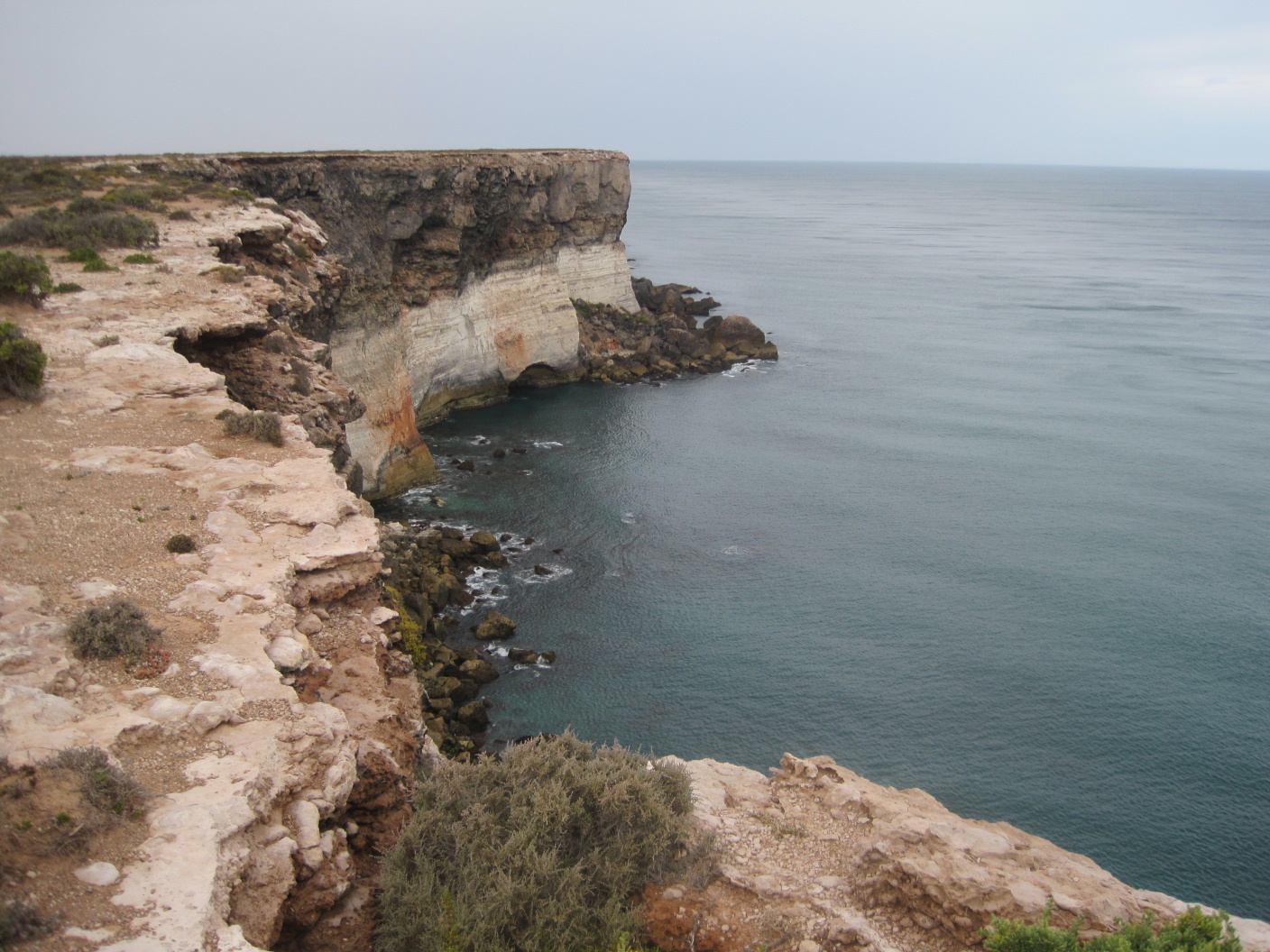
The edge of the continent

Second camp on the Nullabor Plain

View across the Nullabor from the Hampton Tablelands

Bushman Johan tinkering with his electronic toys
No comments:
Post a Comment